Roads
Highway
The most important roads of a country's road network (freeway, Autobahn, etc.).

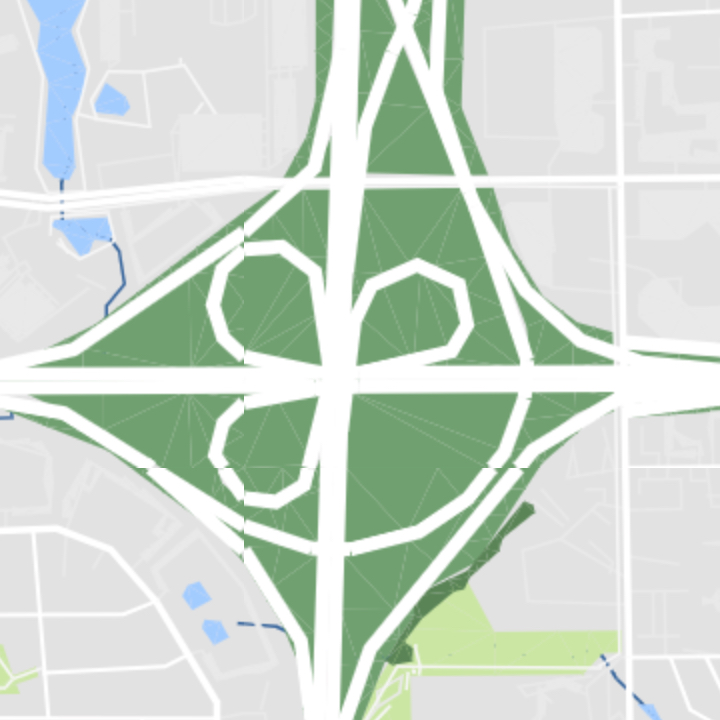
- Geometry:
polyline,label - Zoom Range: 5-17
Major Road
Important roads connecting towns and villages.

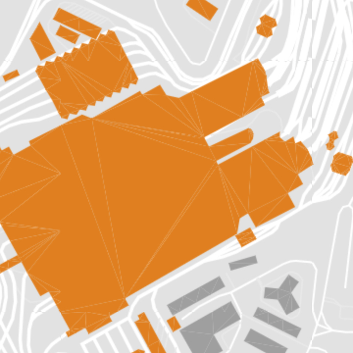
- Geometry:
polyline,label - Zoom Range: 7-17
Minor Road
Includes residential and service roads.

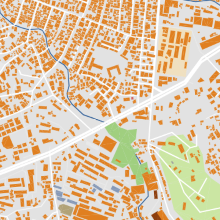
- Geometry:
polyline,label - Zoom Range: 14-17
Parking
Parking areas parallel or perpendicular to a road.

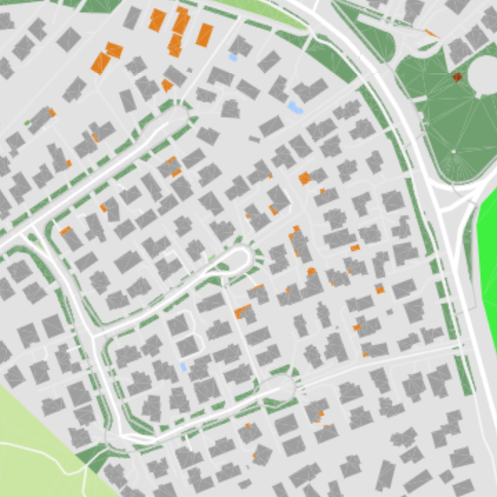
- Geometry:
polyline,label - Zoom Range: 15-17
Path
Non-specific paths not belonging to another category.

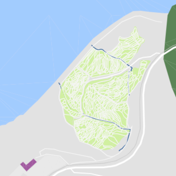
- Geometry:
polyline,label - Zoom Range: 8-17
Pedestrian
Pedestrian sidewalks and crossings.
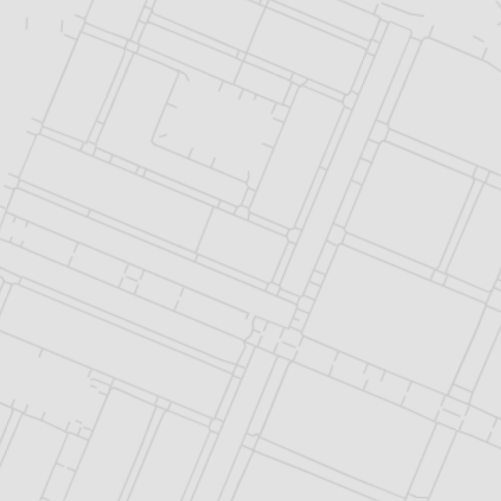
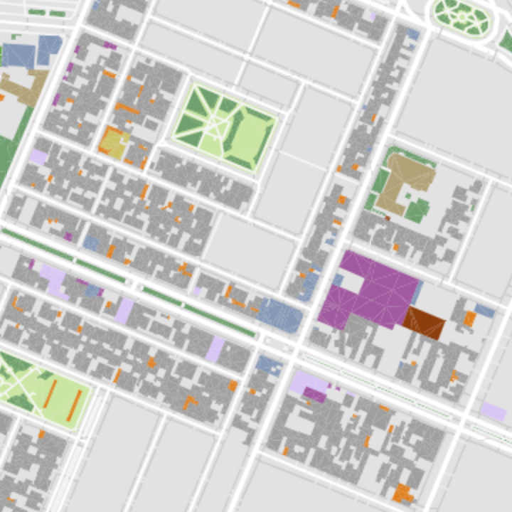
- Geometry:
polyline,label - Zoom Range: 16-17
Railway
Rails for train transport.

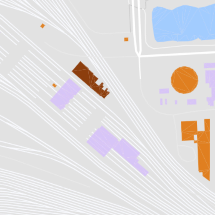
- Geometry:
polyline,label - Zoom Range: 6-17
Runway
Take-off and landing ways for aircraft.

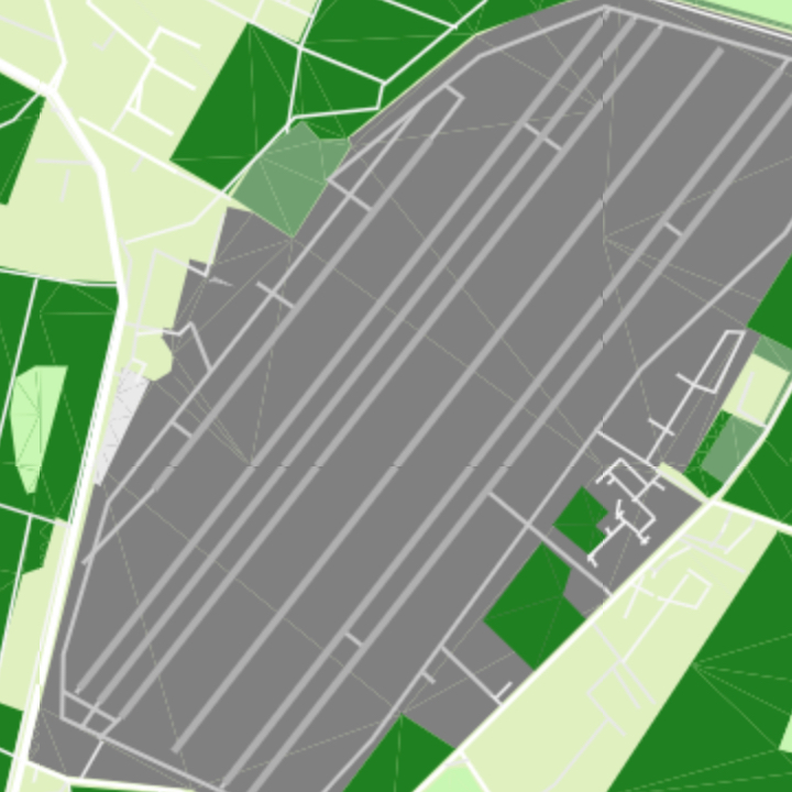
- Geometry:
polyline,label - Zoom Range: 9-17
Taxiway
Routes between runways and airport facilities for airplanes.

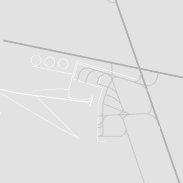
- Geometry:
polyline,label - Zoom Range: 11-17