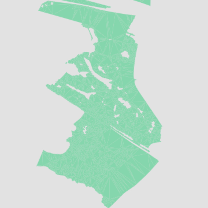
Land Use
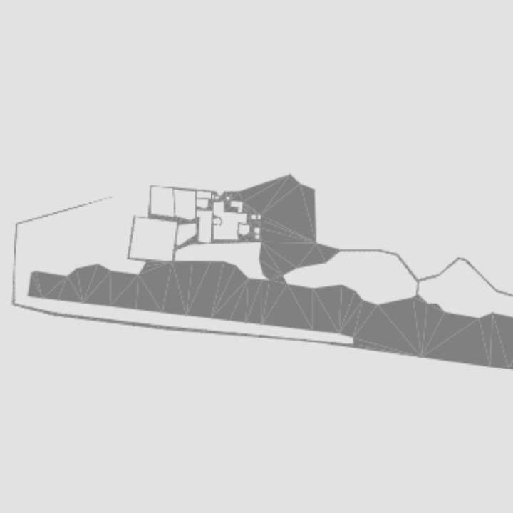
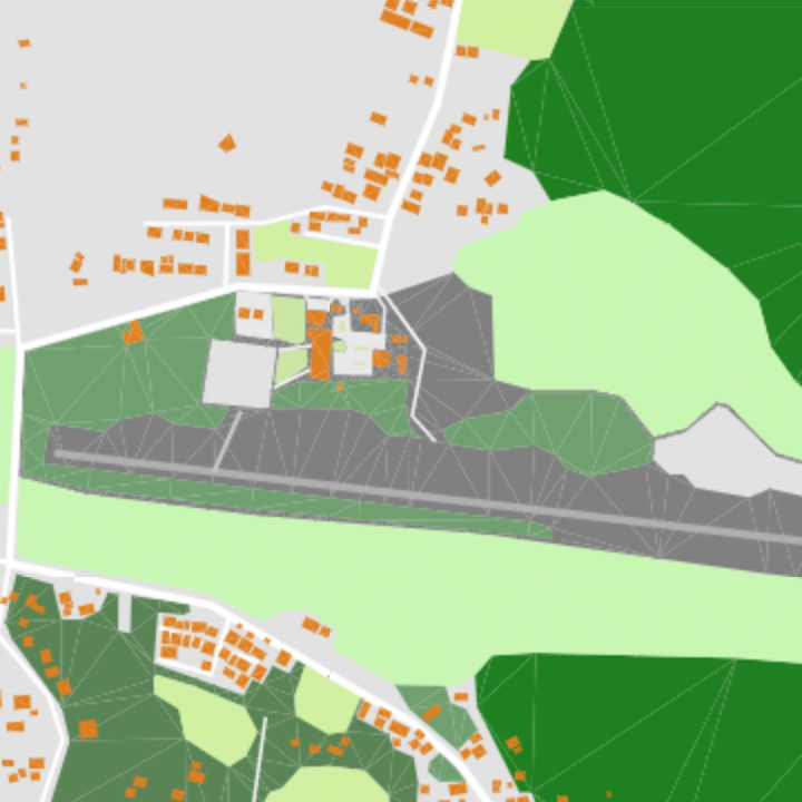
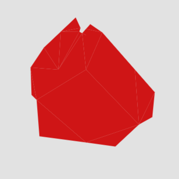
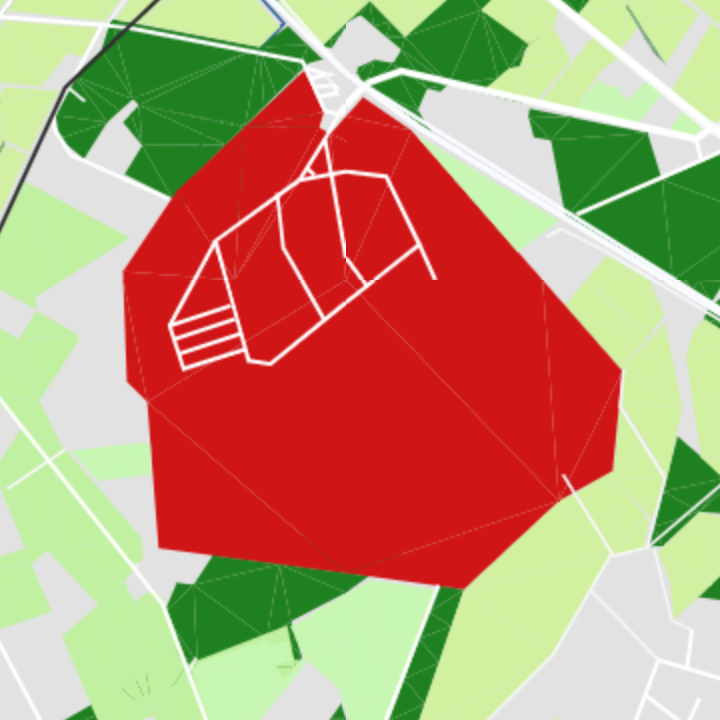
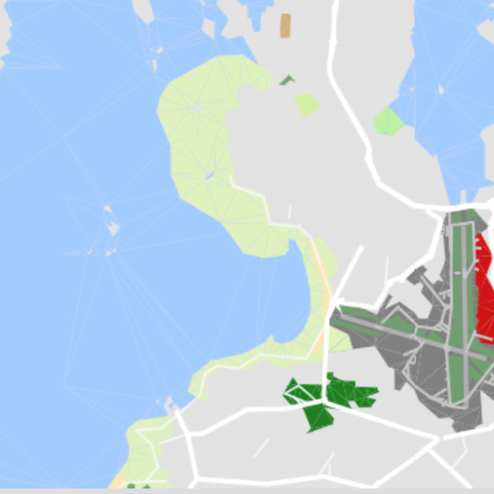
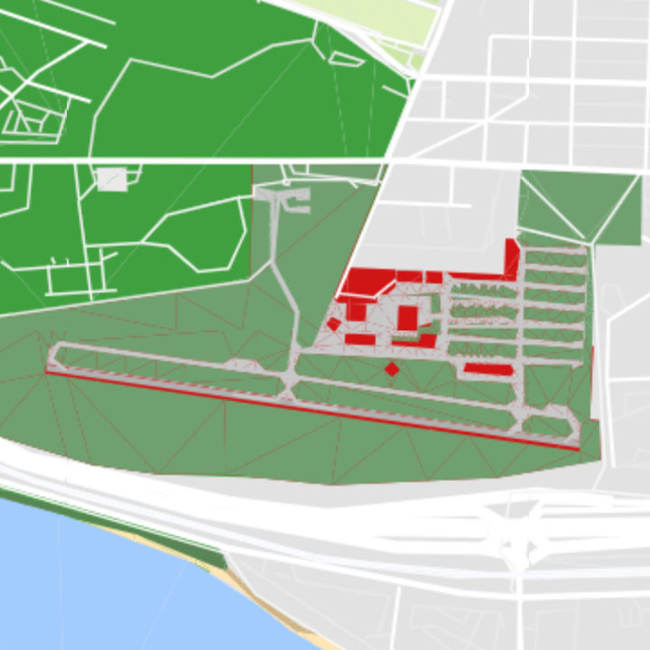
Airport
Locations where flight operations of aircraft take place.
- Geometry:
point,polygon,label - Zoom Range: 8-17
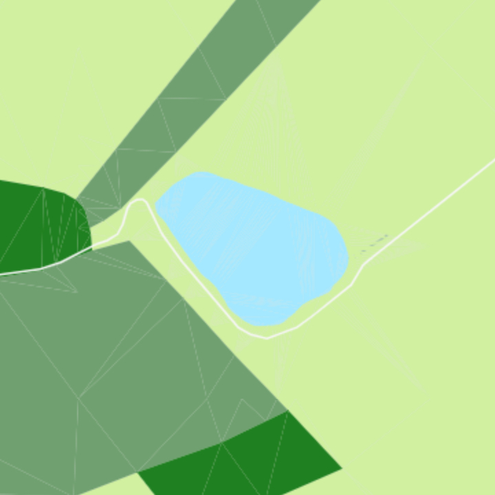
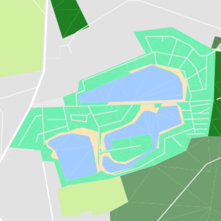
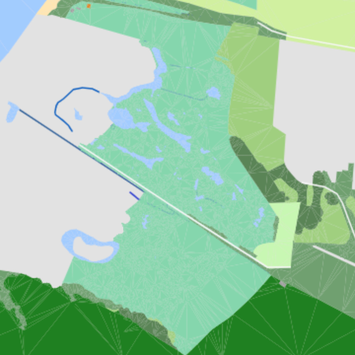
Basin
An artificial water control or storage area.

- Geometry:
point,polygon,label - Zoom Range: 12-17
Cemetery
Place of burial.
- Geometry:
point,polygon,label - Zoom Range: 13-17
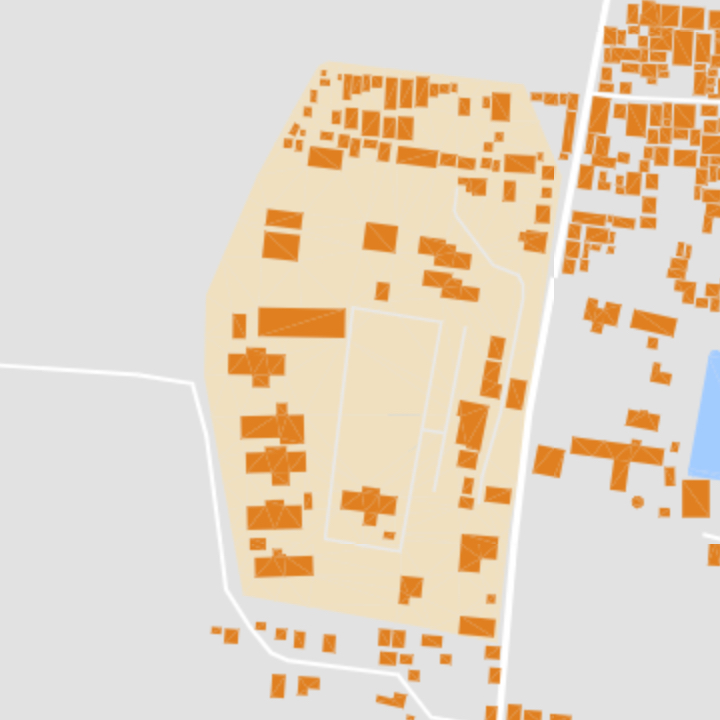
Farm
Area with farm buildings and open space.
- Geometry:
point,polygon,label - Zoom Range: 13-17
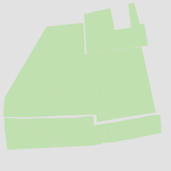
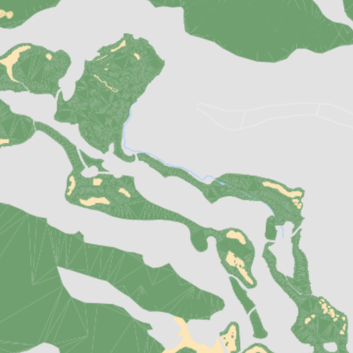
Farmland
Area of farm for tillage.
- Geometry:
point,polygon,label - Zoom Range: 9-17
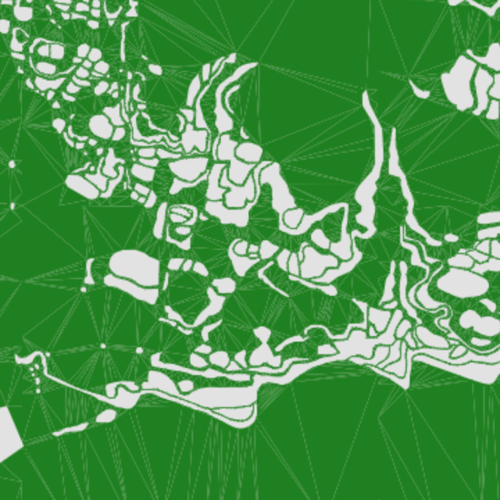
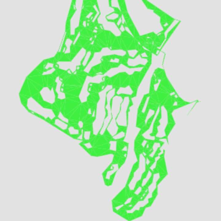
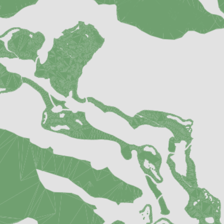
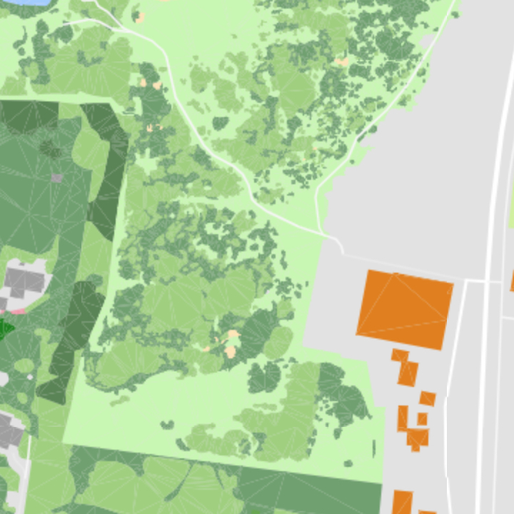
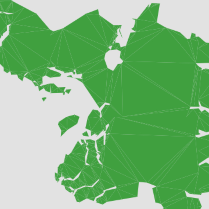
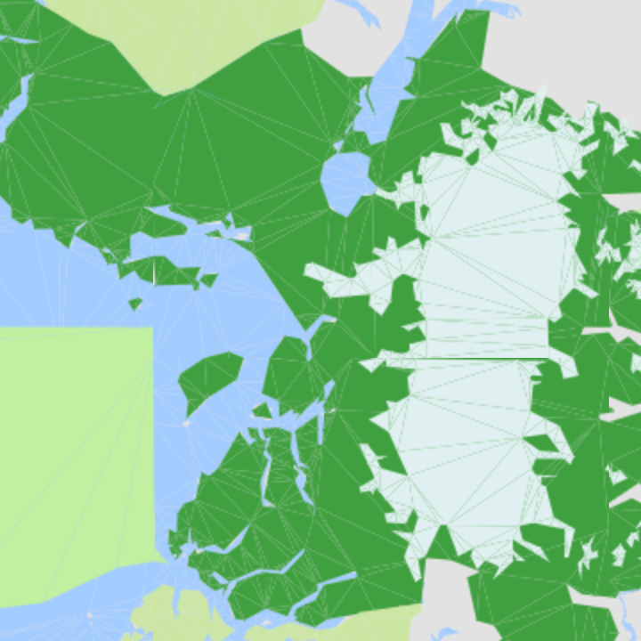
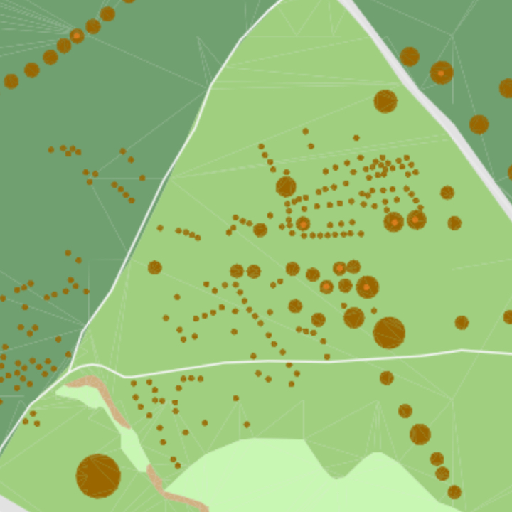
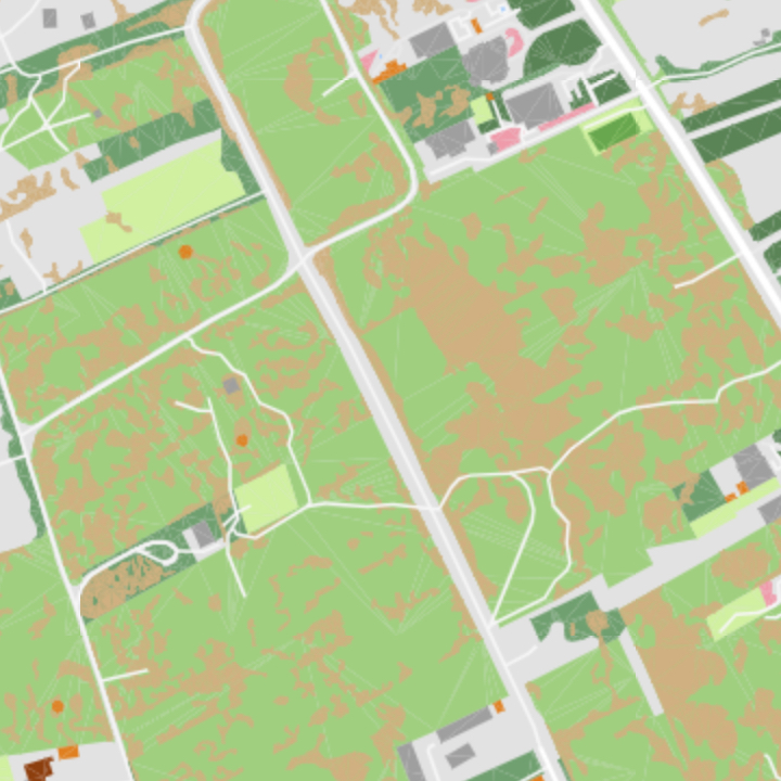
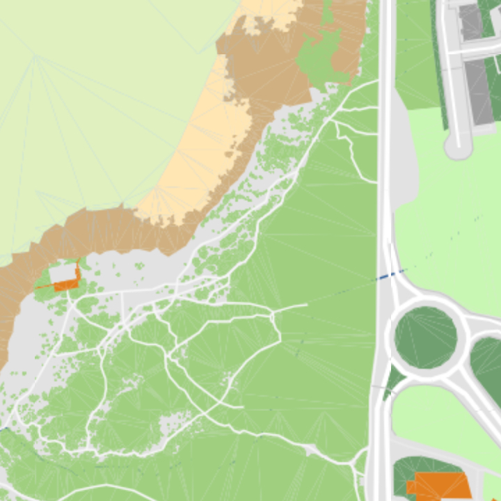
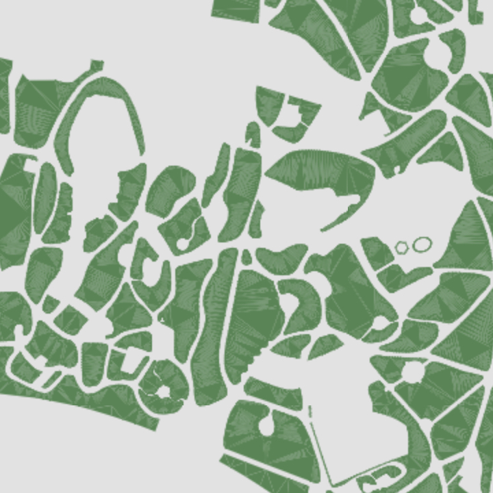
Forest
Natural wooded area.
- Geometry:
point,polygon,label - Zoom Range: 9-17
Garden
Area of decorative plants and flowers.
- Geometry:
point,polygon,label - Zoom Range: 15-17
Glacier
Natural large body of ice.

- Geometry:
point,polygon,label - Zoom Range: 8-17
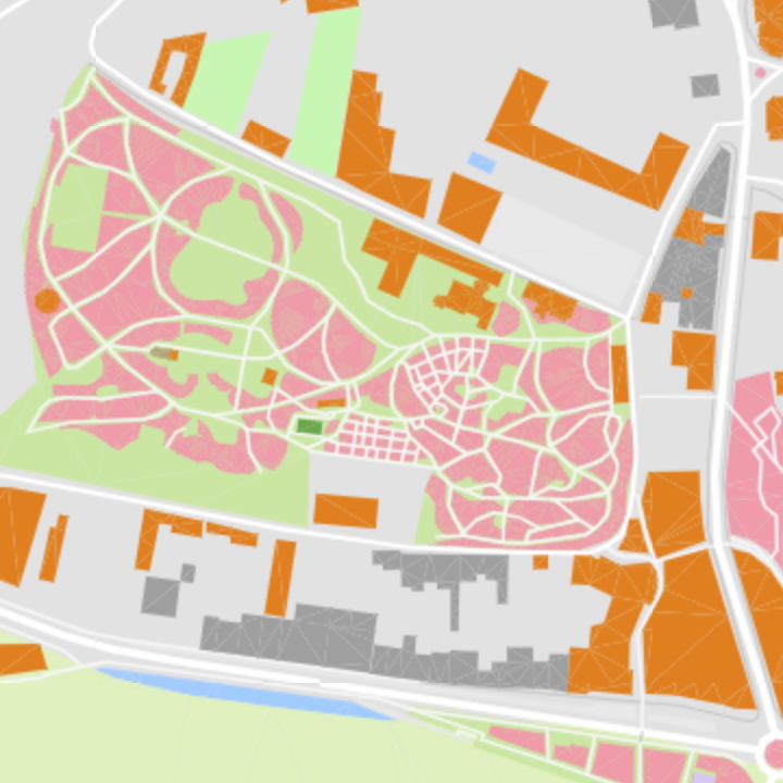
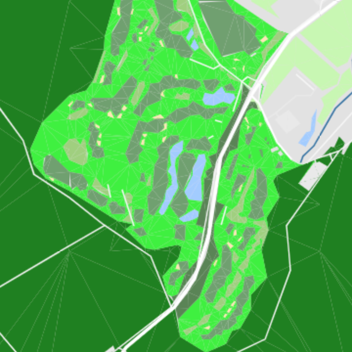
Golf Course
Area to play golf.
- Geometry:
point,polygon,label - Zoom Range: 10-17
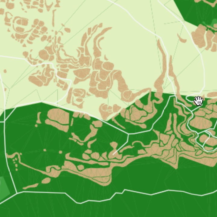
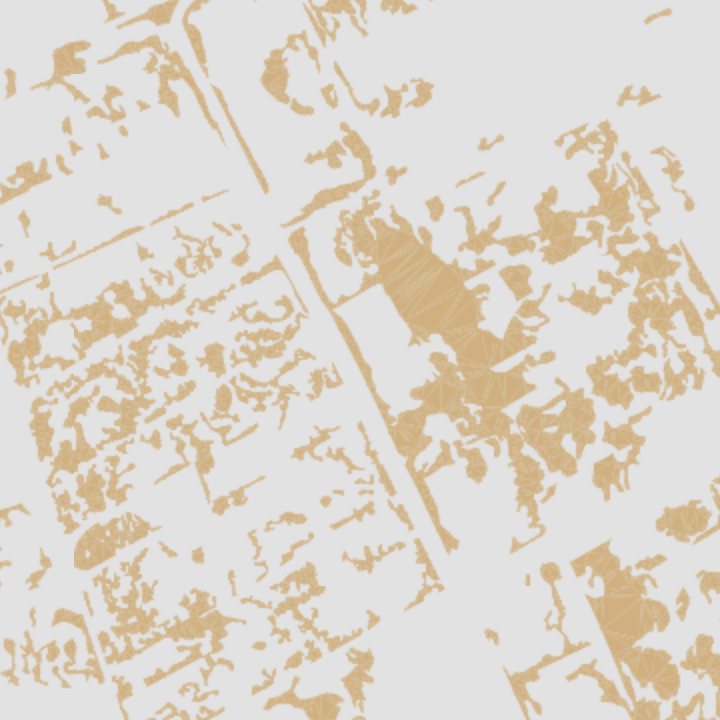
Grass
Non-specific area of mown, managed grass, including grasslands and heaths.
- Geometry:
point,polygon,label - Zoom Range: 9-17
Meadow
Primarily grassy land, mainly used for hay or grazing.
- Geometry:
point,polygon,label - Zoom Range: 13-17
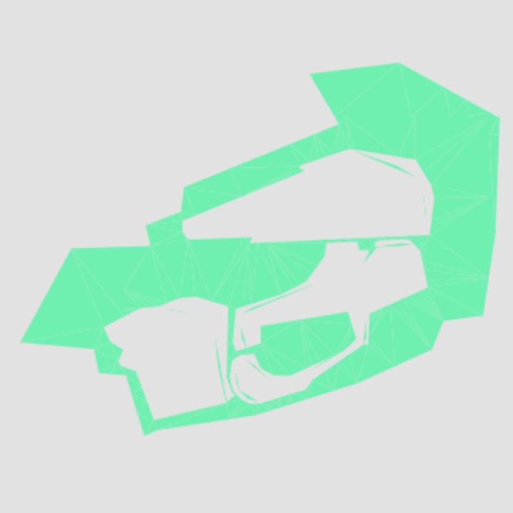
Military
Military facilities and land, including airfields, naval bases, and test ranges.
- Geometry:
point,polygon,label - Zoom Range: 8-17
National Park
Government-protected natural area for recreation and conservation.
- Geometry:
point,polygon,label - Zoom Range: 4-17
Nature Reserve
A protected natural area to conserve its flora and fauna.
- Geometry:
point,polygon,label - Zoom Range: 4-17
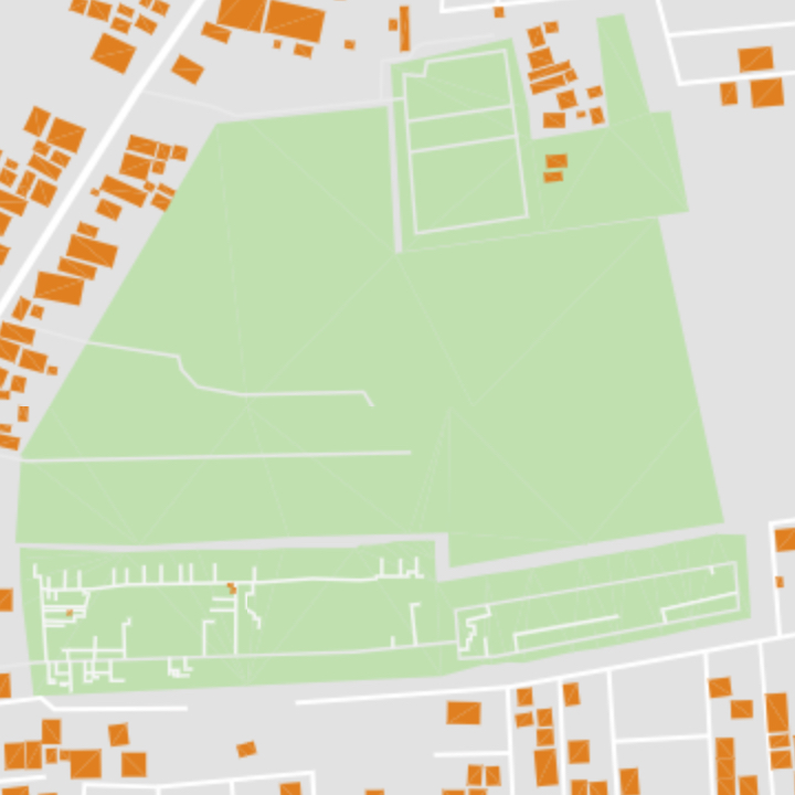
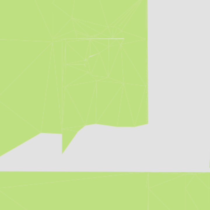
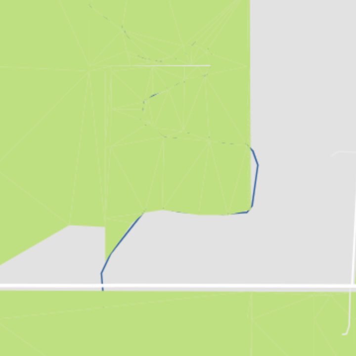
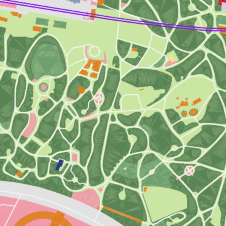
Park
Land for recreational activity.
- Geometry:
point,polygon,label - Zoom Range: 4-17
Parking
Area for vehicle parking.
- Geometry:
point,polygon,label - Zoom Range: 14-17
Peak
Top of a mountain.
- Geometry:
point,label - Zoom Range: 14-17
Prison
Prison or jail where people are incarcerated.
- Geometry:
point,polygon,label - Zoom Range: 13-17
Protected Area
Protected areas like heritage sites, cultural assets, etc.

- Geometry:
point,polygon,label - Zoom Range: 4-17
Quarry
Open-pit mines of rocks and minerals.
- Geometry:
point,polygon,label - Zoom Range: 13-17
Recreation Area
Non-specific land for recreation.
- Geometry:
point,polygon,label - Zoom Range: 12-17
Rock
Area of natural rock features.
- Geometry:
point,polygon,label - Zoom Range: 9-17
Runway
Defined area for landing and take-off of airplanes.

- Geometry:
point,polygon,label - Zoom Range: 13-17
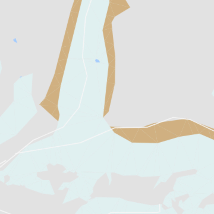
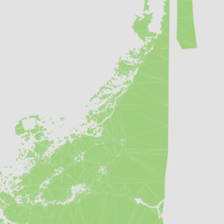
Sand
Area covered by loose sand, including beaches and deserts.

- Geometry:
point,polygon,label - Zoom Range: 12-17
Scrub
Uncultivated land covered with shrubs.
- Geometry:
point,polygon,label - Zoom Range: 13-17
Taxiway
Paths at airports connecting runways with other facilities.

- Geometry:
point,polygon,label - Zoom Range: 11-17
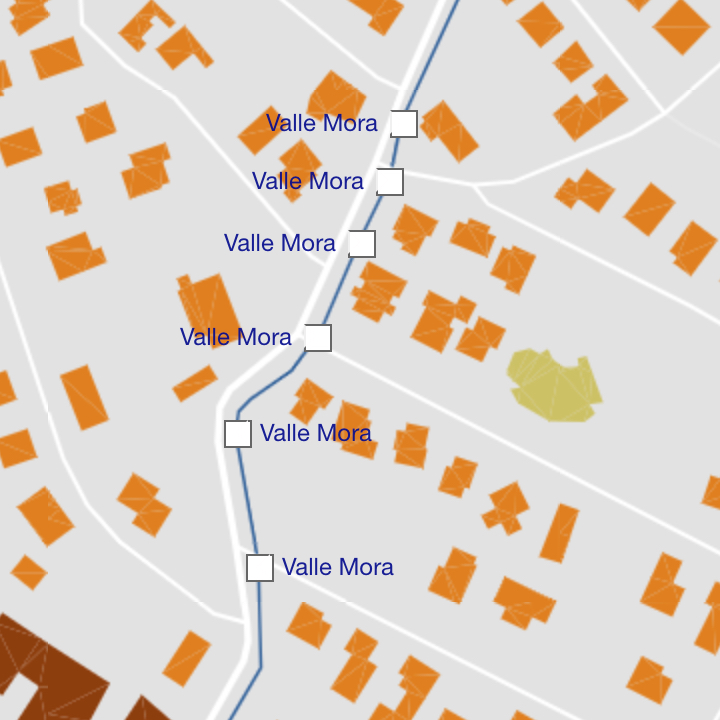
Valley
Low area between hills or mountains.
- Geometry:
point,label - Zoom Range: 13-17
Wetland
Area saturated with water.
- Geometry:
point,polygon,label - Zoom Range: 9-17
Wood
Natural wooded area.
- Geometry:
point,polygon,label - Zoom Range: 13-17